
Central Apennines deformations
The "Central Apennines Deformations Project" has been conducted by the geodesy research group of the ISPRA (Geophysical Office) in collaboration with INGV (Istituto Nazionale di Geofisica e Vulcanologia) and DPC (Civil Protection Department Technical-scientific activities for the prediction and prevention of risks). The principal aim of this project is the study of the Central Apennines areas affected by active fault systems, where the buildup of tectonic stress is a potential risk condition. The activities conducted in this area offer a contribution to the seismic hazard assessment through the analysis of data provided by geodetic networks.
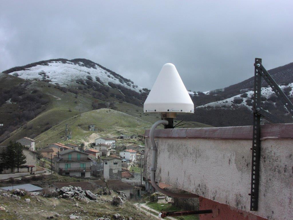
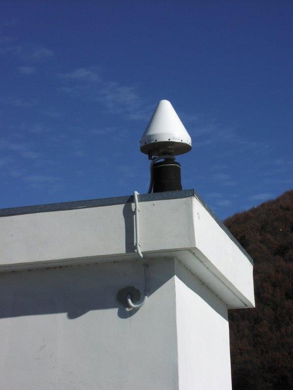
In particular, the project covers the Central Italy area, from the Tyrrhenian Sea to the Adriatic, and involves the analysis of GPS data in order to study the strain accumulation in the Central Apennines (Lazio, Abruzzo, Campania and Molise). The GPS measures are periodically collected either on IGM95 (9) benchmarks or on the episodic stations managed by ISPRA, INGV and DPC. More, data from permanent GNSS stations belonging to the networks of the three Agency are used. These networks provide data with an high accuracy (subcentimetric order) of the plano-altimetric components as long as attention is paid to the choice of sites and the data elaboration phases. So it is very important the type of the instruments, the network architecture, the length of the observing session and the processing technique and software used.
In the Central Apennines area, ISPRA has managed two permanent stations since 2005 (TERM in the municipality of Cagnano Amiterno and CATO near Campotosto lake) developed within the CARG Project ("Antrodoco" geological sheet); a third station was added in 2009, after the l'Aquila earthquake occurred the April 6th (LEOF in the municipality of Pescorocchiano). These stations belong to the GPS network designed by ISPRA, in collaboration with the DPC and INGV, in order to evaluate the elastic strain accumulation in the Gran Sasso area and surrounding.
During the last Central Italian earthquakes (2009 - l'Aquila; 2016 Amatrice and Norcia; 2017 - Campotosto) numerous episodic stations were deployed ISPRA, with INGV and DPC, during the coesismic and posteismic phases surrounding. These stations remained under acquisition several months until the end of the seismic events.
The l'Aquila earthquake on April 6th 2009
A few days after the seismic event on April 6th 2009, some survey-mode GPS stations were equipped and the LEOF continous station was installed in cooperation with INGV, in order to keep under control the post-seismic deformations (7). The use and the integrated analysis of high-precision satellite and topographic data acquired by the three institutions, together with data obtained from other GNSS networks, made it possible to follow the development of deformations related to the event of L'Aquila in 2009 (coseismic and post-seismic phases).
Central Italy seismis sequence
Even for the Central Italy seismic sequence of 2016/17, the data acquired from the GPS stations (CATO, LEOF and TERM) and from other survey-mode stations, operated by ISPRA have contributed, together with the data acquired by other GNSS network (INGV-RING, DPC, ItalPos, NetGeo, ASI, ...), to estimate the seismic deformations associated with the main events of the seismic sequence. These data allowed to define the fault geometry and the slip associated with the main events, as well as the dynamic movement of the soil through the analysis of High-Rate data (2; 4; 5; 6).
The GPS data acquired by ISPRA proved useful not only for the production of scientific paper on the Apennin tectonic deformation (8) but also contributed to the geometric-kinematic validation of 3D model of the RETRACE Project (1) and to the study on the crustal deformation due to hydrology processes in the karst environment (3).
Related articles:
- RETRACE-3D: Central italy Earthquakes integrated Crustal model. (doi: 10.5281/zenodo.4604940); RETRACE-3D project: a multidisciplinary collaboration to build a crustal model for the 2016-2018 central Italy seismic sequence
- Heterogeneous Behavior of the Campotosto Normal Fault (Central Italy) Imaged by InSAR GPS and Strong-Motion Data: Insights from the 18 January 2017 Events
- Transient crustal deformation from karst aquifers hydrology in the Apennines (Italy) e Evidence for localized active extension in the Central Apennines (Italy) from global positioning system observations
- Geodetic model of the 2016 Central Italy earthquake sequence inferred from InSAR and GPS data
- Coseismic displacement waveforms for the 2016 August 24 Mw 6.0 Amatrice earthquake (central Italy) carried out from High-Rate GPS data
- GPS observations of coseismic deformation following the 2016, August 24, Mw 6 Amatrice earthquake (central Italy): data, analysis and preliminary fault model High-rate GPS data archive of the 2016 central Italy seismic sequence
- Coseismic and post-seismic slip of the 2009 L'Aquila (central Italy) MW 6.3 earthquake and implications for seismic potential along the Campotosto fault from joint inversion of high-precision levelling, InSAR and GPS data
- Evidence for localized active extension in the Central Apennines (Italy) from global positioning system observations
- Active crustal extension and strain accumulation from GPS data in the Molise region (central-southern Apennines, Italy