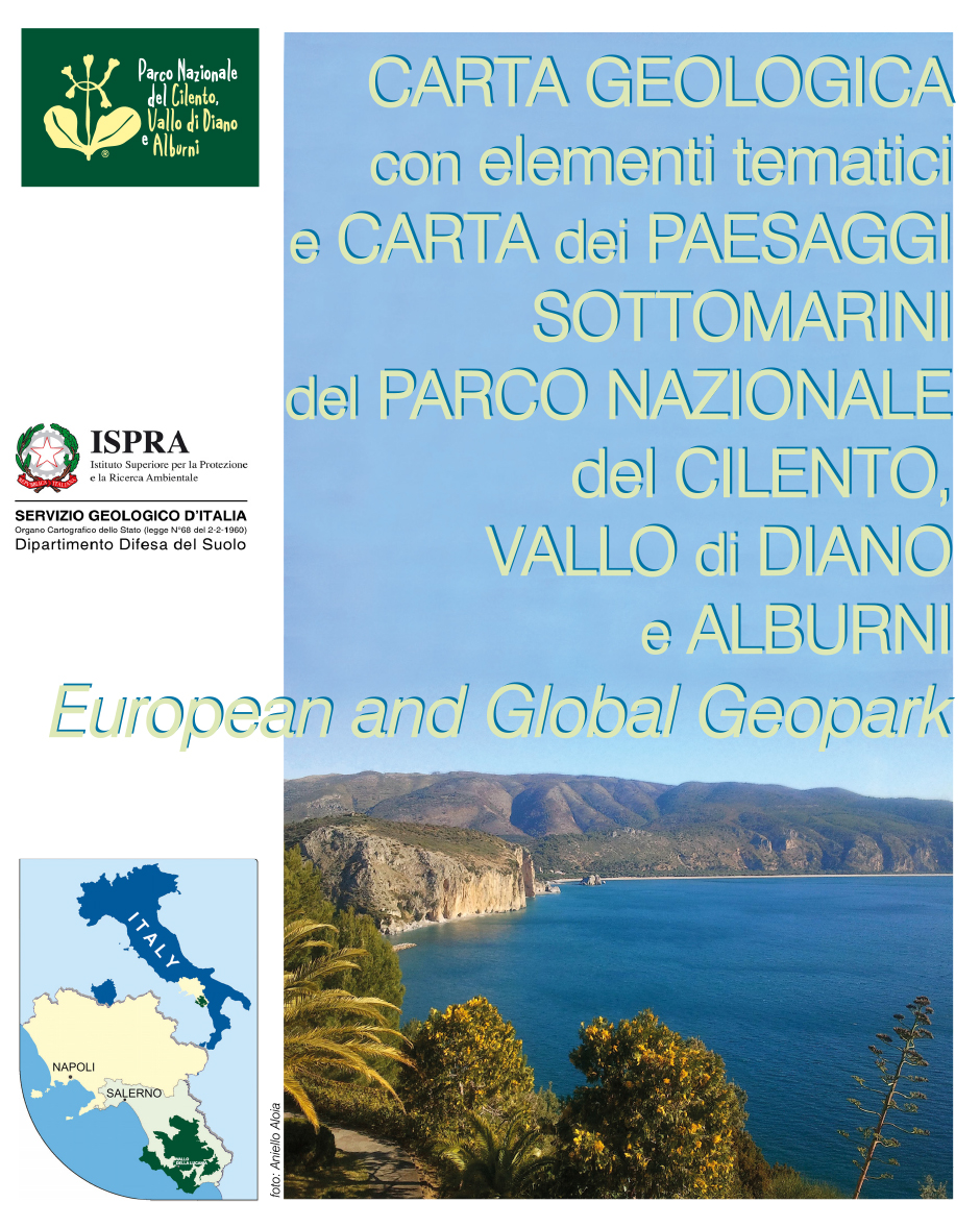
Geological map with thematic elements and underwater landscapes of the Park of Cilento and Vallo di Diano Alburni at 1:110,000 scale
 The National Park of Cilento and Vallo di Diano Alburni Institution, which won the award of "Geopark" and was included in the European and Global Geopark Network under the auspices of UNESCO, has proposed to the Geological Survey of Italy - ISPRA, considered "the highest exponent of the geological sector at national level", a collaboration for the realization of a geological Map of the Park at an appropriate scale, for an overview of the Park geology; the Geological Survey has welcomed the initiative, taking the opportunity to widespread one of the numerous uses of CARG Cartography.
The ISPRA and the Park Istitution, in relation to the performance of the mutual institutional tasks, being interested in carrying out promotional activities, protection and promotion of the geological heritage, dissemination and environmental education through the creation of cognitive tools of the territory, have therefore signed on October 10th 2012 a Convention which has as its object the realization of a geological map called "Geological Map with thematic elements and underwater landscapes of the Park of Cilento and Vallo di Diano Alburni" at the scale of 1:110,000 (from now on Map), as a scientific-popular document and a geological basis of official reference of the Park institutional activity, presented at the 12th International Conference on Geoparks held from 4th to 5th September 2013. In the Park of Cilento and Vallo di Diano Alburni area within the CARG Project were created and coordinated the geological sheets at 1:50,000 scale 502 Agropoli, 519 Capo Palinuro, 520 Sapri, subject of the agreement between the SGI and the Campania Region (ex law 226/99), which is currently being finalized, and the geological sheets at 1:50,000 scale 503 Vallo della Lucania and 504 Sala Consilina - printed - subject of a planning agreement stipulated between the SGI and the University of Naples Federico II (ex law 438/95). These sheets have represented the scientific support for the implementation of the Map. For those areas of the park not "covered" by the CARG Cartography at 1:50,000 scale, were used the geological sheets at 1:100,000 scale 198 Eboli, 199 Potenza and 210 Lauria. Through a reasoned synthesis of the above mentioned sheets it was in fact possible realizing an original product of the studied area with both application and information purposes. The Map has been enriched by some geomorphological and hydrogeological elements considered more relevant; were also represented the most valuable elements of the geological and archaeozoological heritage of the area, including some of the geological sites inventoried by the Parco.
The Map was created by a team established by ISPRA within the Geological Survey of Italy/ Soil Protection Department and the Department of Nature Protection with the scientific collaboration of experts outward ISPRA, from the Department of Earth Sciences, Resources and Environment - DiSTAR of the University of Naples Federico II, Department of Science and Technology, University of Naples Parthenope and the Institute for Coastal Marine Environment, CNR, Naples.
Marine area
The Campania Region co-financed, within the CARG Project, the geological survey of the marine areas included in the above-mentioned sheets in order to complete the geological maps already activated. The data collected were used to complete the map at 1:110,000 scale with a description of the geological-geomorphological and bionomic characters of the marine area overlooking the park.
To describe this area, usually invisible to the park visitors, with the exception of the divers, it was highlighted the relation of the geological structure and the seabed morphology with the animals and vegetable communities that live on them; the set of all these components helps to delineate the submerged landscape in all its diversity and complexity. The stretch of sea off the promontory of Punta Licosa and the one in front of the promontory of Tresino were chosen to draw up an experimental Map at 1:30,000 scale, in order to check how the description of seascapes can go in detail at the variation of the representation scale. What in the Map at 1:110,000 scale is represented as a single bench in continuation of Punta Licosa promontory, is in fact in detail at 1:30,000 as a structured area.
The following links allow the visualization of the Map in raster and vector formats.
Geopark Map Viewer
Geological Map of the Cilento National Park