Geological and geothematic maps
ISPRA acquired the function of State Cartographer's Office, previously hold by the Geological Survey of Italy, as provided by Law 68/1960. The Institute makes new surveys, updates and publishes the Geological Map of Italy at various scales.
The geological map is the cartographic representation of the information acquired during a long work on the ground. The process goes from the survey of data to the laboratory analysis and subsequent data processing. The information is then transferred to the corresponding topographic base in order to describe, through the use of conventional symbols, the exact stratigraphic position, age, petrographic characteristics of the investigated geological formations, in connection to the genesis and to the relationship with adjacent rocks.
The geological sheets are on sale at ISPRA and can be consulted at ISPRA Library.
In addition, flash format geological sheets are available on ISPRA website:

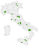
- Geological Map of Italy at the scale 1:50.000 (Geological Survey of Italy and CARG Project)
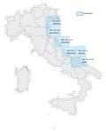
- Geothematic Maps at the scale 1:50.000 (Geological Survey of Italy and CARG Project)
- Geological map of Italian seas at the scale 1:250.000 (CARG Project)

Documents