Ma.Ro.Ma. Project: the relevant activities within the Capo Rizzuto Marine Protected Area carried out by ISPRA
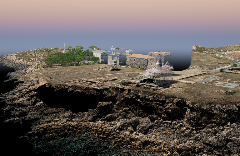
ISPRA is conducting significant activities within the Capo Rizzuto Marine Protected Area through the use of UAS "Unmanned Aerial Vehicle" systems, drones equipped with multispectral cameras and very high resolution RGB.
The surveys are carried out thanks to the scientific collaboration between ISPRA and the managing body of the Capo Rizzuto Marine Protected Area, as part of the Ma.Ro.Ma. Project. Marine Robotic Mapping.
The project has as its objective the experimentation of new methodological protocols for the mapping of marine habitats of interest through remote surveys (Planet Scope satellite images), from drones, with underwater robotic vehicles (ROV) and through geophysical surveys with Multibeam systems.
The surveys will also be conducted at Capo Colonna, Capo Cimiti, Praialonga and on the dunes of Sovereto and will make it possible to obtain orthomosaics and Digital Terrain Models (DTM) in very high resolution.