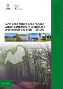
“Carta della Natura” of Molise: mapping and assessment of habitats at the scale 1:25.000
This technical document shows the activities and methodologies adopted to realised the “Carta della Natura” of Molise at 1:25.000 scale.
In particular, the habitats identified and mapped to the scale of analysis, are described. For each habitat is available an habitat descriptive scheda and the distribution in the area of study.
It’s also described the next phase of the Carta della Natura project: the assessment phase that using a set of indicators and indexes, assigns specific marks to the territorial units included that are representative of their natural value and risk of degradation. The mapping and the evaluation of the Molise region's habitats represent a valid landmark for bodies and agencies responsible for the safeguard, control, pianification and management of the territory.
Download the publication (pdf - 18 mb)

