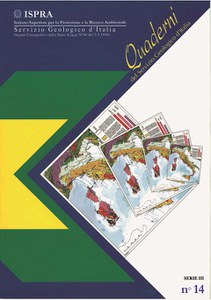
Hydrogeological map of Italy at 1:50.000 scale
The publication of these Guidelines is intended to help to acknowledge that hydrogeological mapping is a fundamental activity for any attempt to protect and rationalize the management of water resources, which must be known in the possible greatest detail. The purpose of this Guide is to promote the preparation of cartographic documents that, in addition to representing the regional hydrogeological features of prevailing scientific interest, provide the user with all possible information expressed in quantitative terms, even if defined by approximation, about the amount of water resources locally available, their quality and their distribution on the surface and in the subsoil. These Guidelines are made up of technical specifications and indications for the organization of the cartographic legenda, the map and the explanatory notes. The technical specifications define the methods of data collection for the purpose of realizing the hydrogeological mapping.
Available only in electronic format
- Summary
-
Forewords
- INTRODUCTION
- TECHNICAL SPECIFICATIONS FOR FIELD SURVEY
- LEGEND, MAP AND EXPLANATORY NOTES ORGANIZATION
- SELECTED REFERENCES
- APPENDIX
- Appendix 1 - Symbol legend proposals
- Appendix 2 - Forms for survey and data collection of wells (Forms 1, 2 and 3)
- Appendix 3 - Forms for survey and data collection of springs (Forms 4 and 5)
- Appendix 4 - Forms for survey and data collection of streams (Forms 6, 7 and 8)
- Download the publication

