LIFE STRONG SEA project
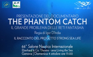
Oct 02, 2026The Sea We Can Save: The Story Told by the Documentary “The Phantom Catch”
ISPRA at the Genoa International Boat Show with the recovery of ghost fishing gear
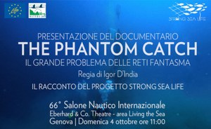
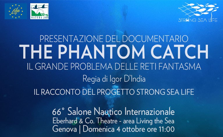
4 October 2026 – 11:00 a.m. – Eberhard & Co. Theatre – Living the Sea Area
More than 180 reports, 24 recovery operations, 156 pieces of fishing gear removed, and over 22 tonnes recovered. These are the unprecedented achievements of the LIFE STRONG SEA Project, coordinated by ISPRA and funded by the European Union’s LIFE Nature and Biodiversity Programme. The project will be presented at the Genoa International Boat Show through the documentary “The Phantom Catch – The Great Problem of Ghost Fishing Gear”, directed by Igor D’India. In addition to presenting the project’s results, the documentary retraces a five-year journey involving researchers and divers working to free the Mediterranean from fishing gear lost at sea.
The main objective of the Project is to protect and improve the conservation status of priority marine habitats, including Posidonia oceanica seagrass meadows and coralligenous habitats, both of which are protected under the Habitats Directive and included in the European Natura 2000 network of protected sites.
The recovery operations involved different types of fishing gear, including gillnets, trawl nets, traps and longlines, found at depths ranging from 8 to 40 metres. Scientific analyses of the recovered gear identified 89 species belonging to 50 groups of living organisms classified according to shared characteristics (taxa), with crustaceans accounting for the largest share (30%), followed by algae and encrusting organisms. This finding provides evidence of the progressive biological colonisation process that affects fishing gear lost at sea over time.
Maria Alessandra Gallone, President of ISPRA and SNPA: “It is particularly meaningful for us to present the Strong Sea Life project and the documentary that tells the story of its results here, where the sea—our country’s natural heritage and an essential resource—is at the heart of the event. The Boat Show is also one of the places where the different dimensions of our country’s relationship with the sea come together most clearly: boating, industry, research, innovation, tourism, culture and employment.
Removing a ghost net means doing much more than simply removing waste from the sea; it means reducing a source of pressure on marine ecosystems, recovering materials, preventing further damage and raising awareness of the importance of prevention.
The documentary helps bring to light what often remains hidden, making complex issues more accessible to the public and, above all, fostering greater awareness. Protecting the sea is not only the responsibility of institutions or experts; it is a collective challenge that concerns each and every one of us, through the choices we make every day”.