Istituto Superiore per la Protezione
e la Ricerca Ambientale

Cerca
Italy's Hidden Groundwater Reservoir Supplies 84% of Drinking Water
Jul 13, 2026

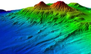
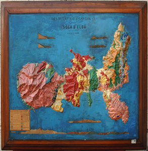
ISPRA  has unveiled a new Hydrogeological Map of Italy, highlighting the country's vast underground groundwater resources. According to the study, more than 84% of Italy's drinking water comes from aquifers, springs and wells beneath the surface.

The map shows that around 66% of the Italian territory contains natural aquifers with medium to high water-storage capacity, particularly across the Po Valley and the central and southern Apennines. The survey also identified 957 major springs with flow rates exceeding 10 litres per second, supplying approximately 2.7 billion cubic metres of drinking water each year.

Published forty years after the previous nationwide assessment, the new map provides an updated picture of one of Italy's most valuable natural resources. ISPRA stresses that understanding and protecting these underground water reserves is essential for ensuring the country's long-term water security and sustainable management of freshwater resources

Highlight

Topics in evidence

“Watch Out for the Four!”: Keep Your Eyes Open for Invasive Alien Fish in Italian Waters
Jul 14, 2026

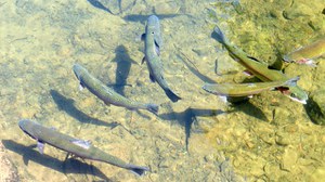
Fishermen, divers, and anyone who has observed or caught a lionfish or any of the other three potentially dangerous tropical species—the silver-cheeked toadfish, the dusky rabbitfish, and the marbled spinefoot—in Italian waters are invited to support the “Watch Out for the Four!” awareness campaign. The campaign aims to inform the public about the presence of these invasive species in our seas and encourage the reporting of sightings.

continue
ISPRA documentary "House in the sand"
Jul 14, 2026

Do you know the Kentish Plover? Did you know that you might see it on the beach in the summer? Unfortunately, it is currently one of the most threatened coastal nesting species. Most breeding populations in Europe are declining, sometimes dramatically as in Italy, due to disturbance from human activities, predation by invasive species and habitat loss and degradation. The documentary "House in the sand" describes the monitoring and scientific research activities carried out by ISPRA, in collaboration with local ringers, the local branches of the National Committee for the Conservation of the Kentish Plover and the General Command of the Carabinieri.

continue
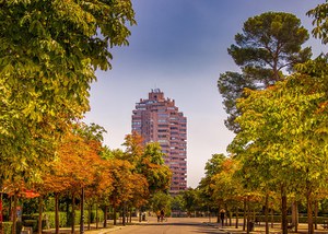
Urban Heat Islands: Reforestation and Depaving Can Reduce Temperatures by Up to 4°C
Jul 08, 2026

Urban Heat Islands: Reforestation and Depaving Can Reduce Temperatures by Up to 4°C

The MIRIFICUS project, coordinated by the Italian National Research Council (CNR-IBE) in collaboration with ISPRA and supported by the Italian Space Agency, shows that urban heat can be significantly reduced through nature-based solutions. Simulations carried out in Rome and Florence demonstrate that increasing green spaces, planting trees, and replacing heat-retaining pavements with cooler surfaces can lower daytime temperatures by more than 4°C, while maintaining an average daily reduction of about 2–2.2°C.

The project also analyzed satellite data collected between 2013 and 2023, revealing that most Italian cities experience summer surface temperatures above 40°C because of extensive asphalt, concrete, and limited vegetation. In contrast, surrounding rural areas are considerably cooler. The study highlights that urban design—including building density, height, and construction materials—plays a major role in determining local temperatures. For example, industrial areas in Rome can reach 57.2°C, whereas urban forests in Florence are almost 9°C cooler than densely built neighborhoods.

To support urban planning, MIRIFICUS has developed a free webGIS platform and a Google Earth Engine web application that allow municipalities to analyze local temperature patterns, assess the effects of land use and green spaces, and simulate the impact of mitigation measures. According to the project partners, these tools provide scientific support for designing more resilient, healthier, and climate-adapted cities.

Project MIRIFICUS

Download data of Italian Municipalities

continue
All ISPRA Events All News

July